Latest update: 9th October 2017
External Links Wikipedia Merton Council Map Wandle Valley Park Map River Wandle Trust
Photos that should eventually cover the whole of the Wandle Trail, a 14 mile
series of paths alongside the River Wandle from Croydon,
through Beddington,
Carshalton, Morden, Merton, Wandsworth and to the Thames. There is a
PDF Map that shows the whole trail
from Croydon to the River Thames.
Officially, the Wandle Trail starts at East Croydon railway station, but the
river actually rises in South Croydon but is underground until
Wandle Park
east of Purley Way, then underground again until west of Waddon Ponds.
Google map of the Wandle Trail from Wandle Park on the right, then Waddon
Ponds and Beddington Park. Google Street view Covers
much of the trail with panoramic photos
every few hundred metres from Waddon Ponds, photos taken from a bicycle.
14th July 2017,
Wandle Park Croydon,
where the River Wandle is first visible above ground. The source is
springs in South Croydon,
but the river runs in buried culvert to this
point. It used to be buried in this park as well, but was opened up a few
years ago.
The river runs through Wandle Park, not very wide, a few Moorhens seen.
The water level here varies depending on local rain, and rose
a foot during a
recent heavy rain storm.
The river leaving the west edge of the park, where is disappears under the busy Purley Way road.
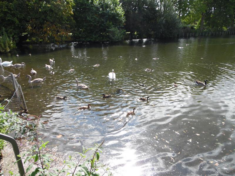
18th August 2017, Waddon Ponds in Croydon, a lot of ducks and geese here, also swans.
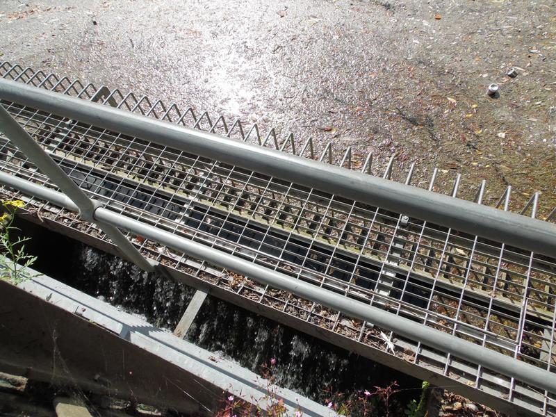
Waddon Ponds is fed by springs, and water leaves the lake through this weir
into the buried culvert running under Purley Way and
down Mill Lane, where
there presumably was a mill the past, but is now an industrial estate.
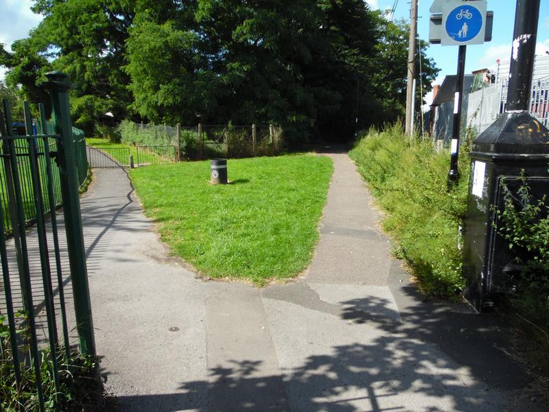
This is start of the Wandle Trail off Mill Lane, the left path leads into Waddon Ponds park, the right path is the trail and leads into woods.
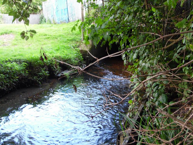
Finally the River Wandle surfaces from the underground culvert near Richmond
Green, with a much greater flow than left Wandle Park,
due to the extra
water from Waddon Ponds.
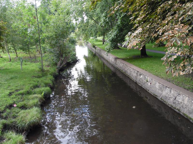
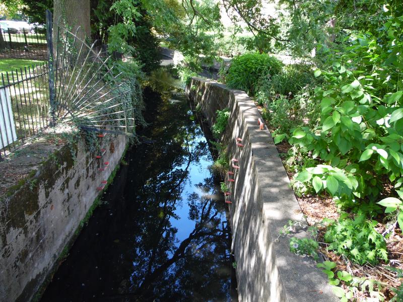
The river is very clear, but artificial banks mean little wildlife.
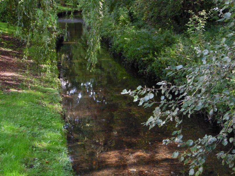
Richmond Green on the far side of the river with a pedestrian bridge at the bottom of Lavington Road.
The trail does not run along the river all the way, there is a detour via
Bridle Path, then back onto the path near Wandle Bank. until a
bridge under
Beddington Lane.
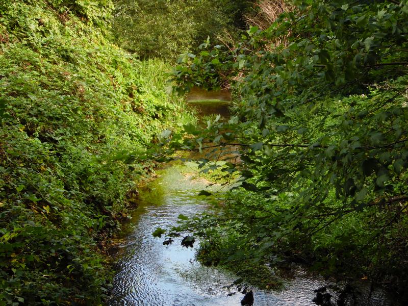
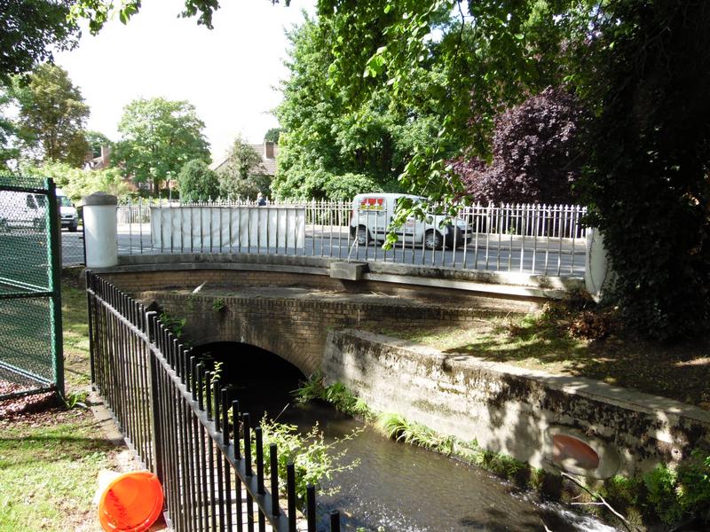
Having crossed Beddington Lane, the river follows Gury Road.
There is then a pedestrian bridge from Guy Road, that leads in the eastern end of Beddington Park.
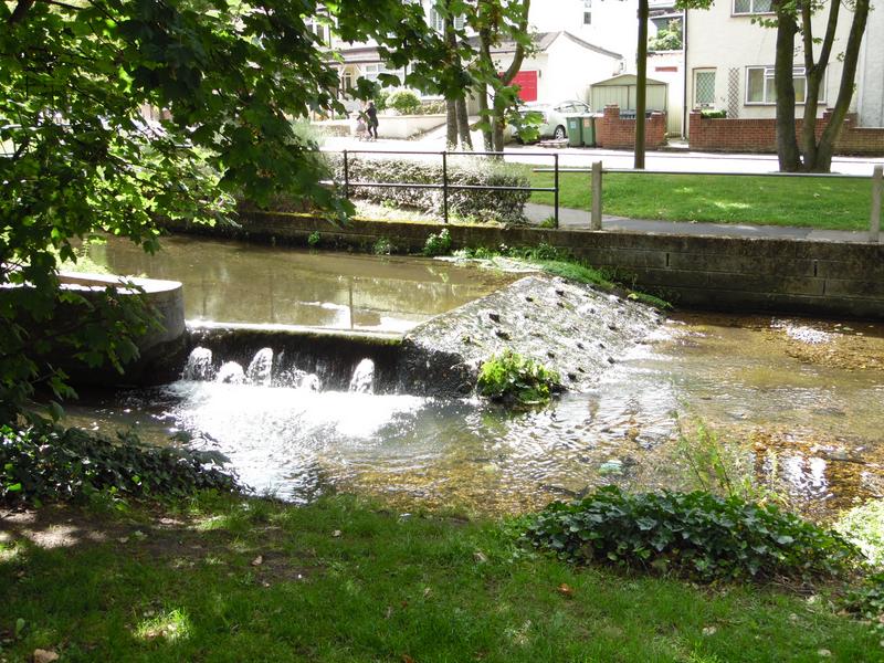
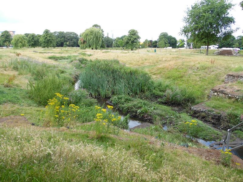
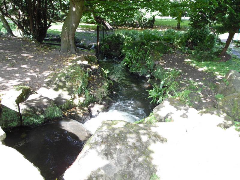
Along the river, there are various mini waterfalls, as the ground level
lowers. And where other tributaries join the River Wandle, including
clean water from Beddington Sewage Treatment Works, just north of here.
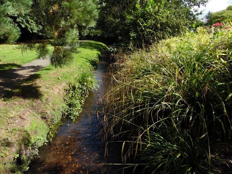
Now near Mallinson Road and Beddington Park Primary School.
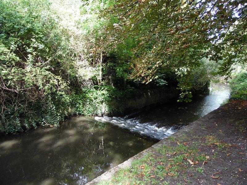
The course of the river gets confusing at the edge of Beddington Park, it appears to be on two levels at places.
Very overgrown here, but still did not see any water fowl.
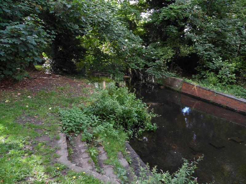
The river follows a Z shaped path here.
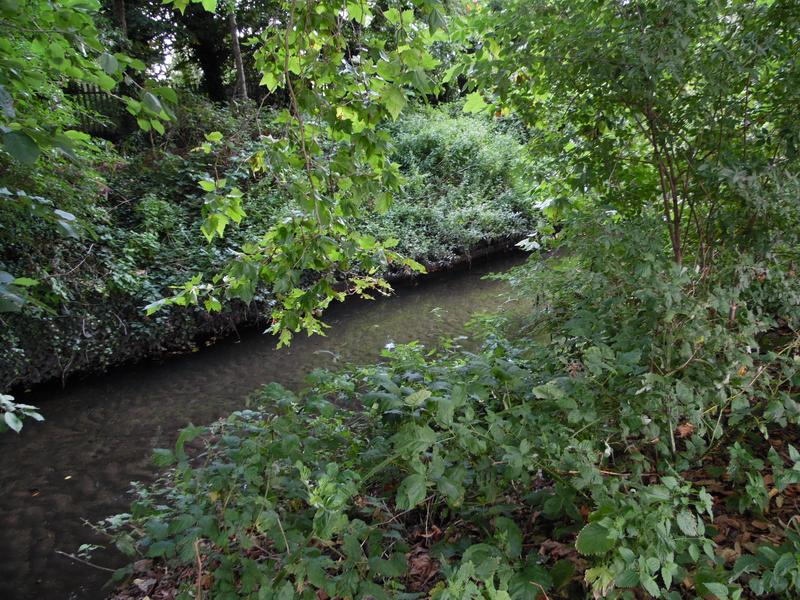
Still heavily overgrown.
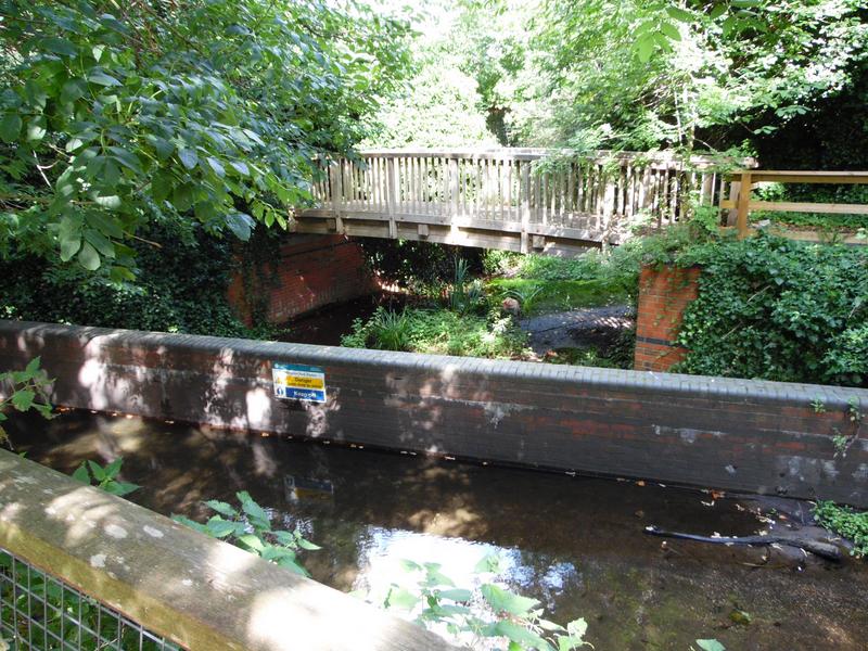
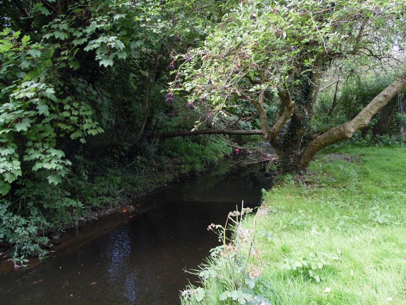
Near Church Road and the sports fields, lots of buildings including Cardew Academy.
View from the bridge, we are now into the park proper, grass neatly mown, beyond the trees.
Approaching Church Road, which runs south/north through the park, leading to the Pavilion Cafe and sports pitches.
The river path is becoming more formal, with stone edgings.
Church Road looking north, cricket pitch on the right, football pitches beyond.
There are no formal paths following the river in the centre of the park, just grass.
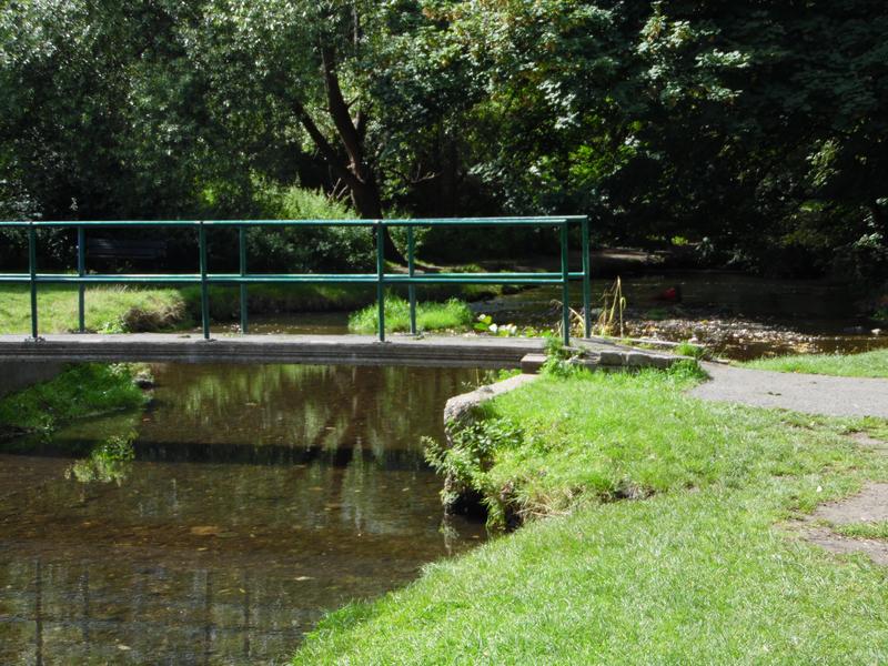
Fortunately there are several bridges over the river.
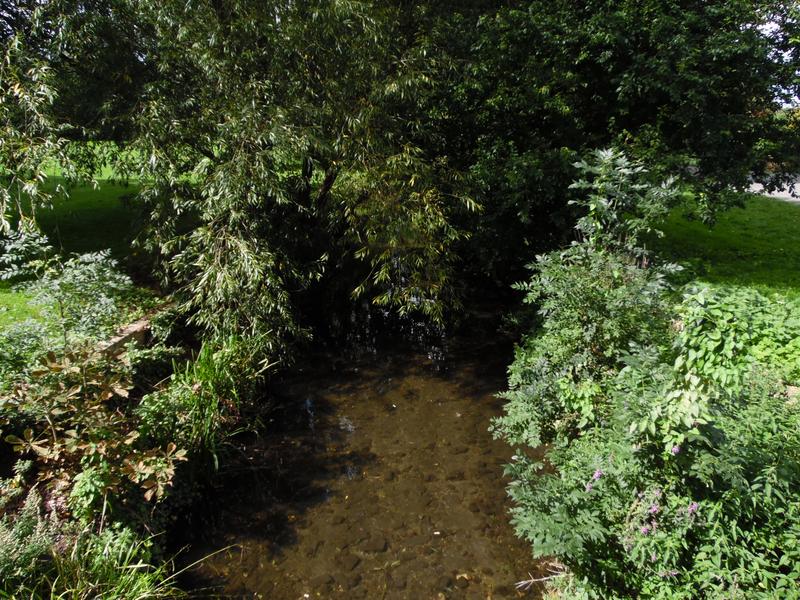
The river has just passed through a wood, then one of the formal park paths with another bridge. Dogs can easily swim in the river here.
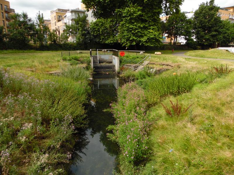
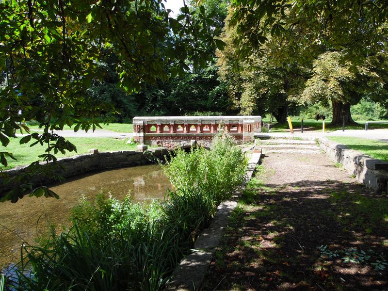
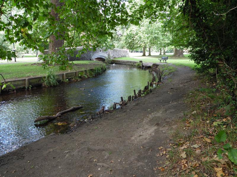
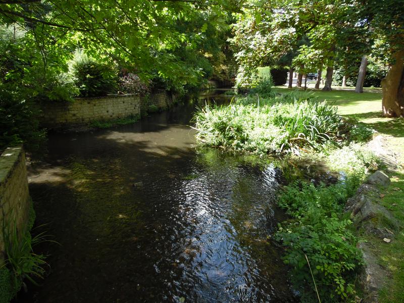
Now approaching Beddington Park lake, stone walls again.
The east end of the lake, high bridge just visible.
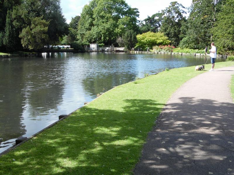
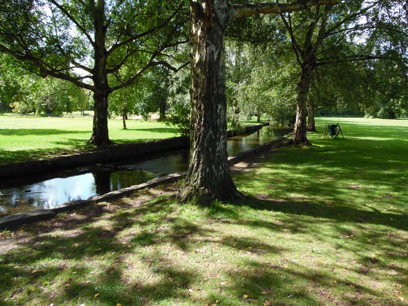
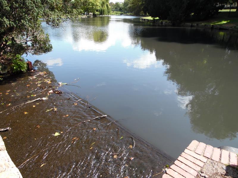
The main Beddington Park lake, formal gardens and paths.
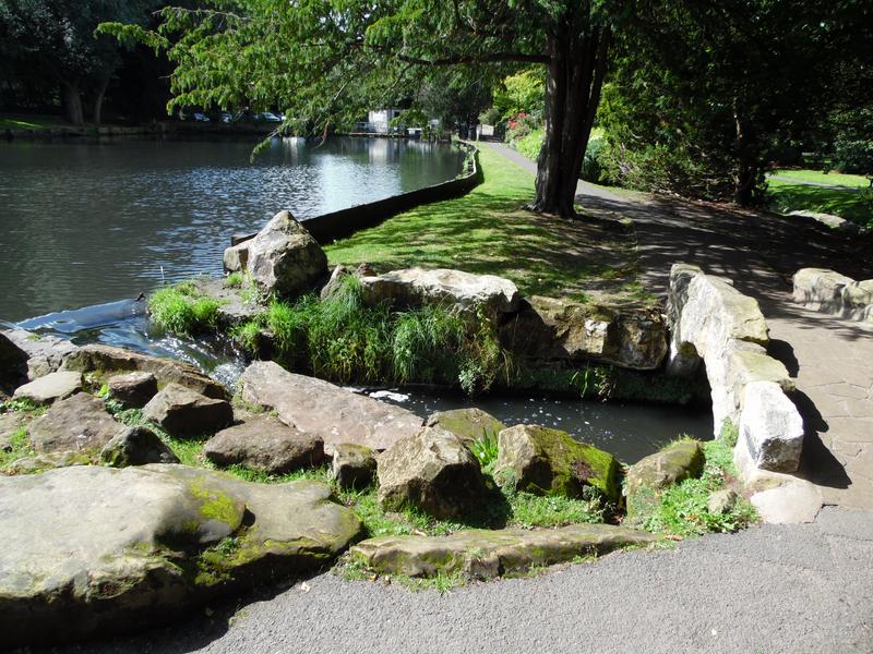
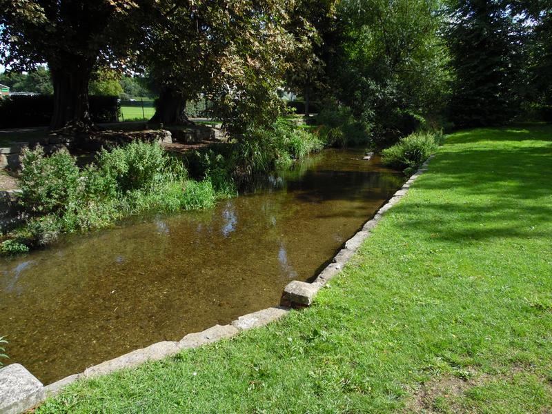
The River Wandle leaves the lake in this stream and also over a weir in the distance.
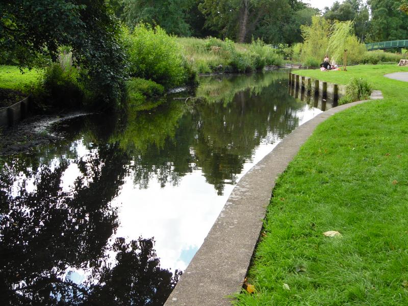
The river channels curving away through the formal gardens.
The river running eastwards.
Towards the edge of the park.
caption
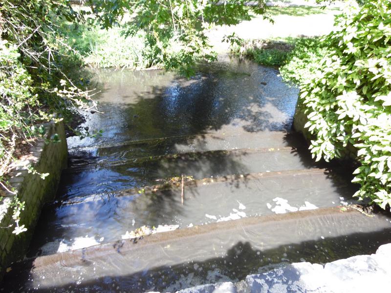
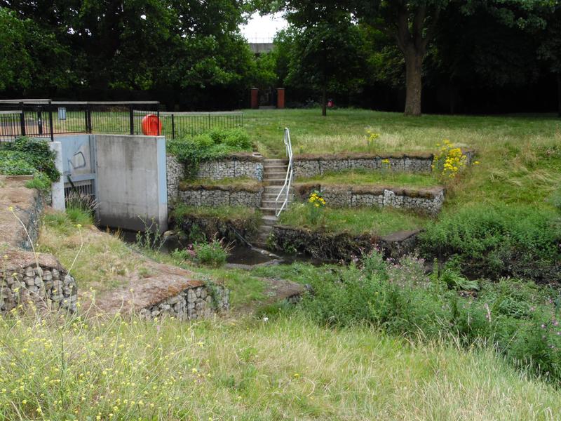
Another weir as outflow from the lake means the river through the gardens.
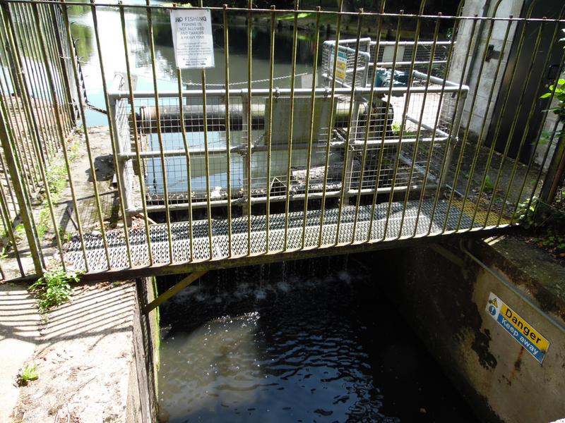
Sluice gates at the end of the lake.
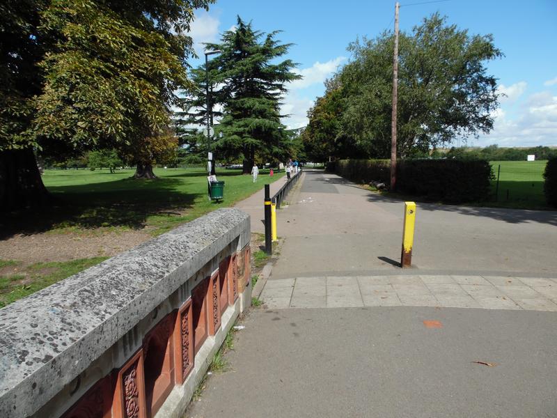
The river channel beside the car park near The Grange towards the main road.
Finally the River Wandle leaves Beddington Park under the A237.
All photos and text on this web site is © Copyright 2026-2022
www.croydonducks.co.uk and may not be reproduced, copied or linked
without prior written permission. All rights reserved.
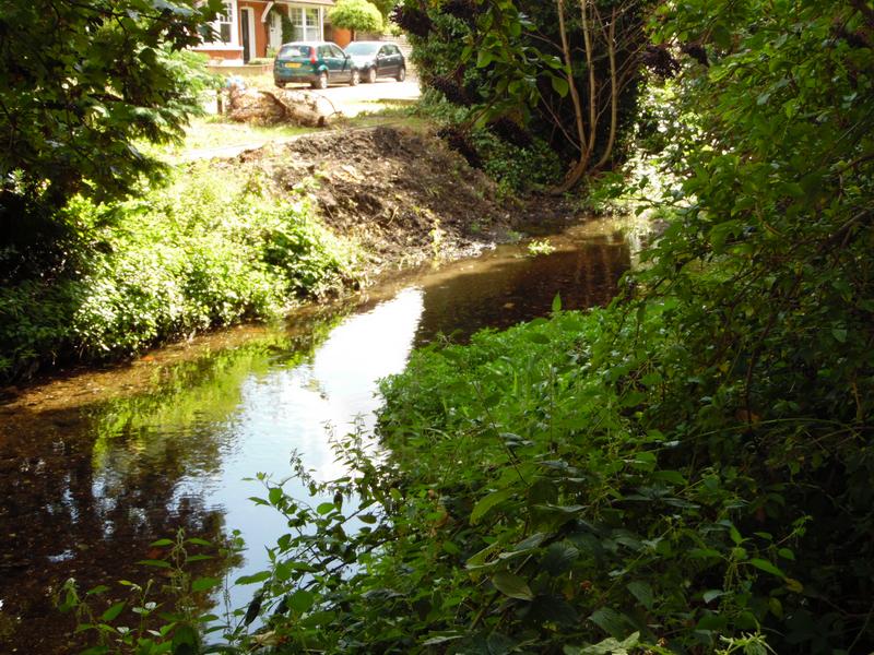
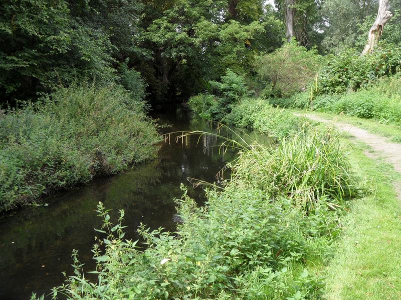
The river continues to Wilderness Island through an urban housing estate,
where it is joined by another tributary starting at Carshalton
Ponds.
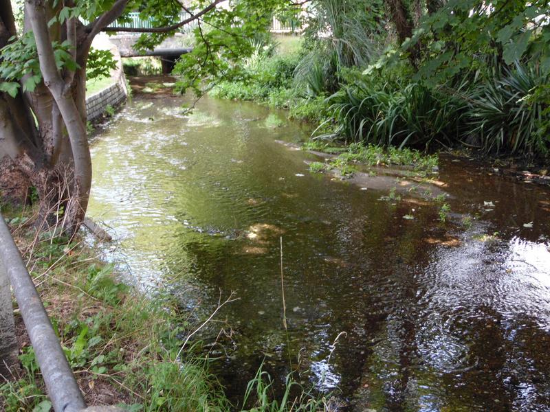
From Wilderness Island, it goes through Dale Park and Poulter Park south of
Mitcham, then to Morden Hall Park in Merton.
Hope to cover this section
during October.
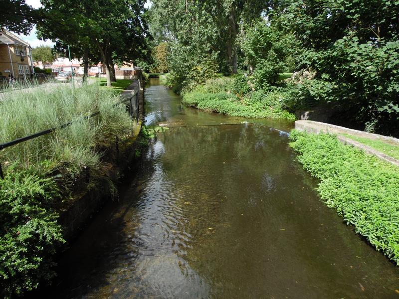
17th August 2011, the River Wandle enters
Morden Hall Park near
Mitcham, heavily bordered by trees. The river is fast flowing, and
shallow with a good solid rock bottom, so suitable for dog paddling.
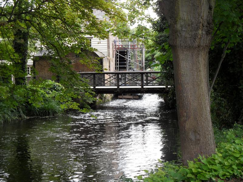
The sole remaining mill waterwheel on the river Wandle,
with the bridge from the car park, cafe and
stable block into the main park. This
is the main river, but
there are also smaller flowing streams in the park.
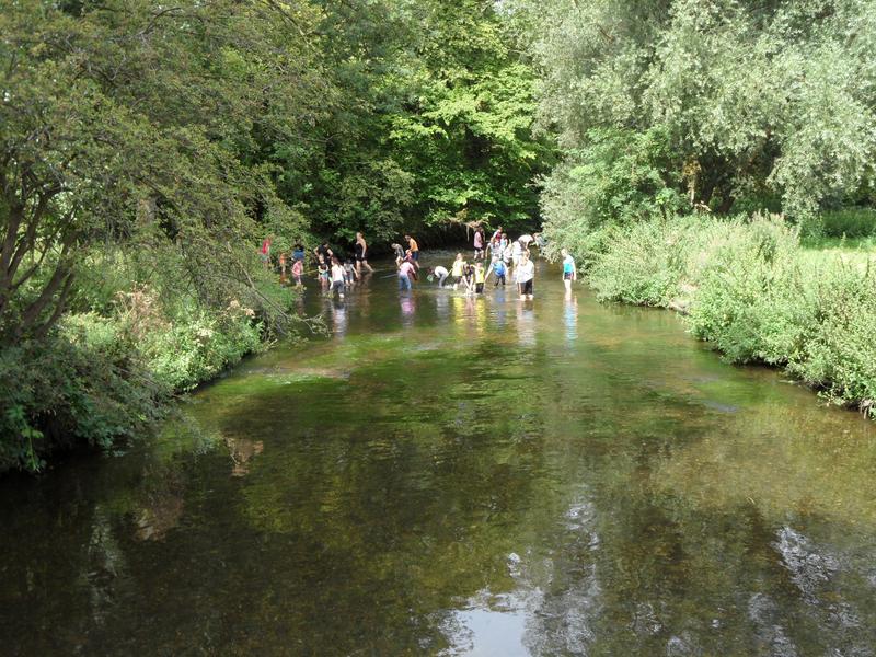
Beyond the waterwheel, the river is suitable for paddling, the kids mostly had nets but not sure what they catching.
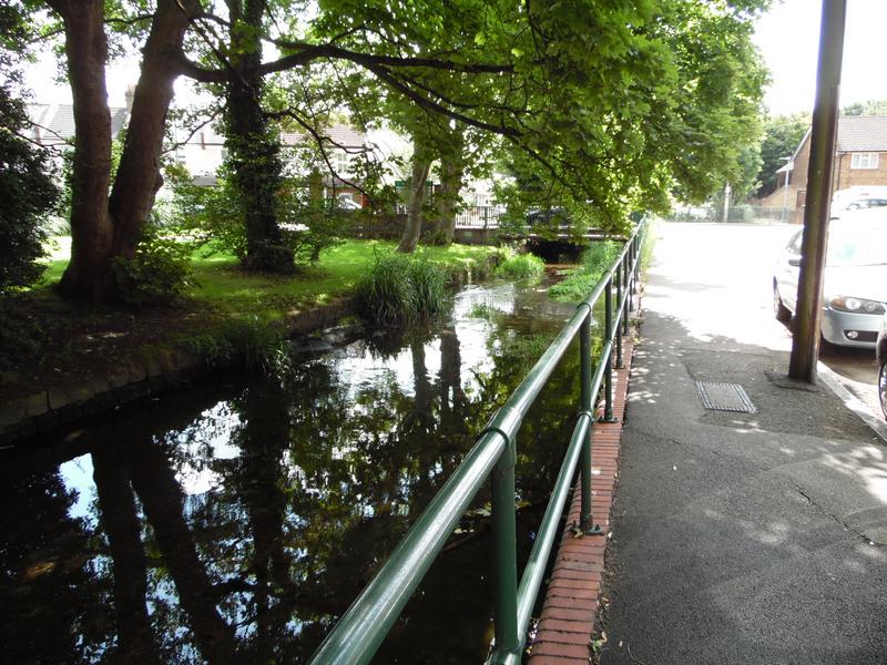
The River Wandle continues north west from Morden Hall Park, through another
Wandle Park in Collier Wood, then Wandle Meadow Nature
Park, Garratt Park,
King George's Park in Southfields and finally through Wandsworth to the Thames.
Hope to cover this during 2018.